
Know your course
Need an up-to-date course record? Start with mapped aerial imagery and a baseline report your team can return to.
Read more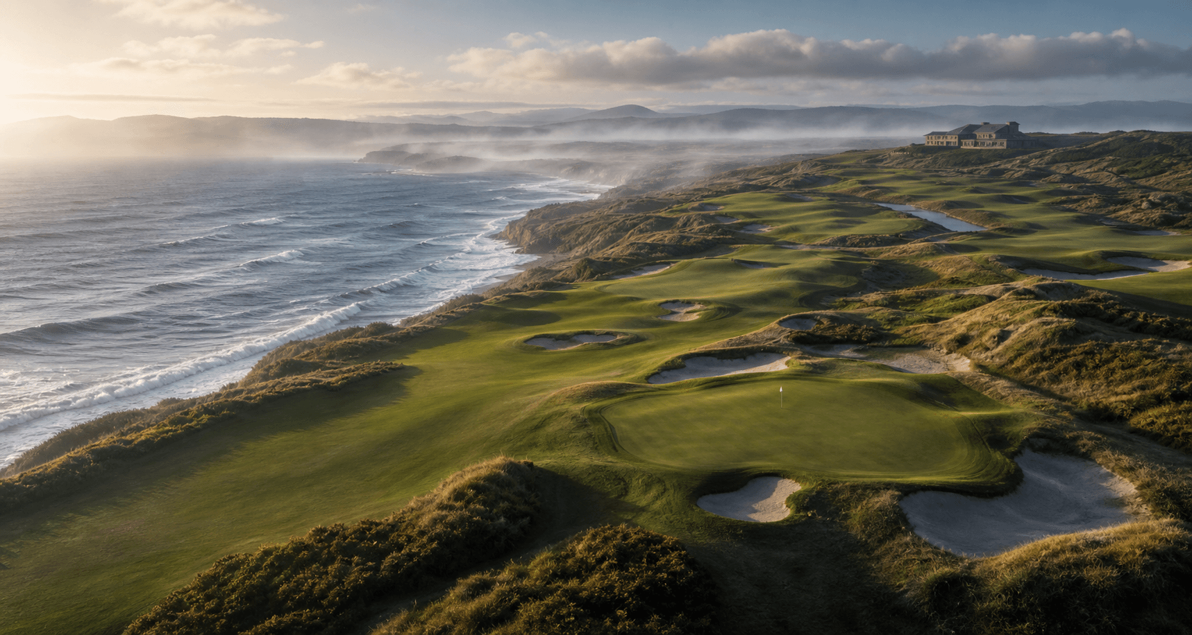
Basalt Golf / Mapping & monitoring
Course surveys, mapping and repeat monitoring, delivered as clear maps and reports for your greens team and committee.
Illustrative course landscape / not a client survey
Three ways we help
Need an up-to-date course record? Start with mapped aerial imagery and a baseline report your team can return to.
Read moreHas the turf changed? Use mapped imagery to identify differences worth checking on the ground.
Read moreDid the work make a difference? Compare survey dates and keep the evidence from one season to the next.
Read moreWhat your club receives
See how mapped imagery and explained observations support the questions your club needs to answer.
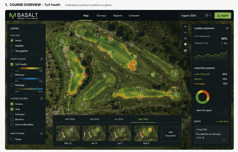 Illustrative example
Where should we look more closely?
Locate greens, approaches and fairways in a shared course view, with observations tied to the places your team knows.
These are conceptual previews using simulated imagery, not completed customer surveys. Outputs and methods are agreed for each course.
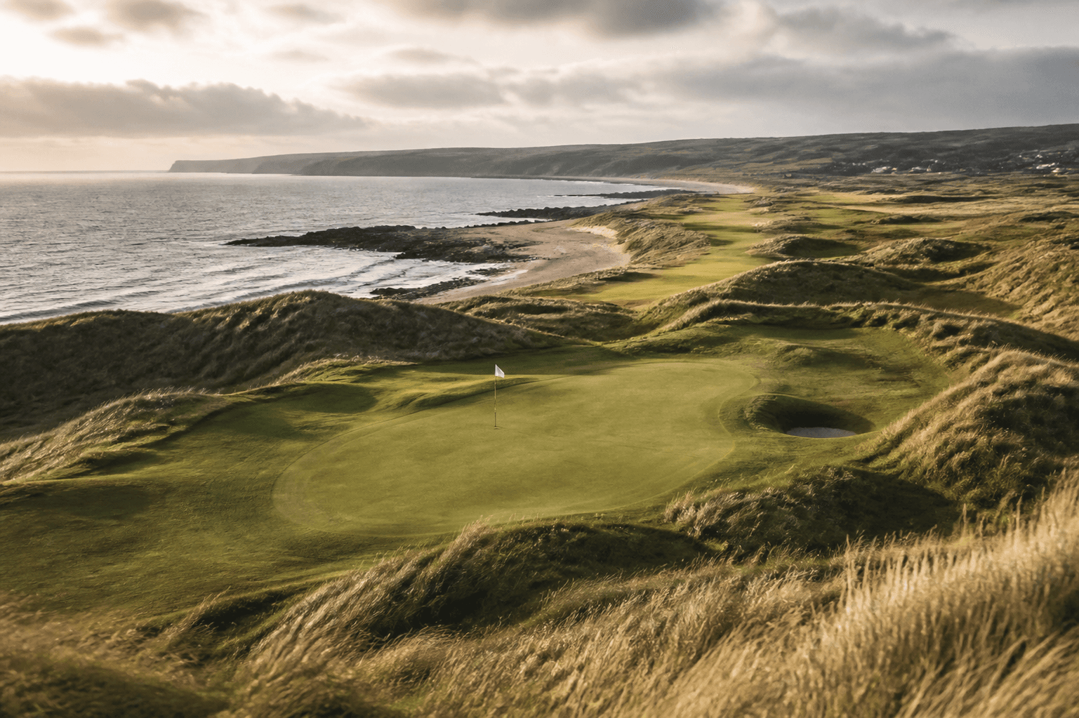
North Coast of Ireland
Based on the North Coast of Ireland, Basalt combines experience in golf technology, planning and GIS to provide specialist course surveying and analysis.
Read our storyA good place to start
A current course map, a comparison between survey dates, or simply a better course record. Tell us what matters to your club.
Discuss your course