
Basalt Golf / North Coast of Ireland
Our story
Basalt is a specialist surveying and mapping business for golf clubs, based on the North Coast of Ireland. Our work brings together experience in golf technology, planning and geographical analysis.
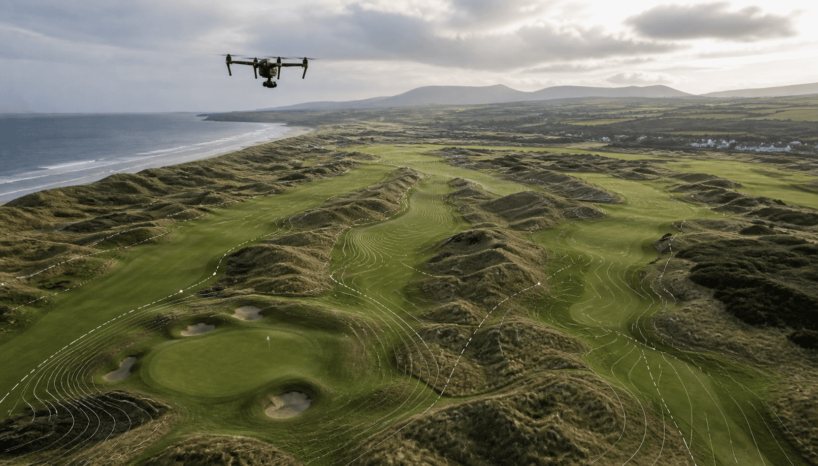
The background to our work
Golf technology, planning and mapping.
Basalt grew from a shared connection to golf and the North Coast of Ireland. The courses and links landscapes here are part of our surroundings, and we care about the work involved in looking after them.
Our complementary backgrounds bring together golf technology, environmental planning, GIS, land management and software development. That combination connects an understanding of golf clubs with the skills to map a course, interpret spatial information and present it clearly.
We established Basalt to put those skills to practical use for golf clubs. A current course map or a clear comparison between survey dates can give the greens team and committee a shared reference, rather than information scattered across files or held by one person.
Our aim is straightforward: useful surveys, readable maps and course information that helps people plan their work. We agree the scope and outputs before a survey, explain the limits of the information, and make clear where ground inspection or specialist advice is still needed.
A good place to start
What are you trying to
understand about your course?
A current course map, a comparison between survey dates, or simply a better course record. Tell us what matters to your club.
Tell us about your course